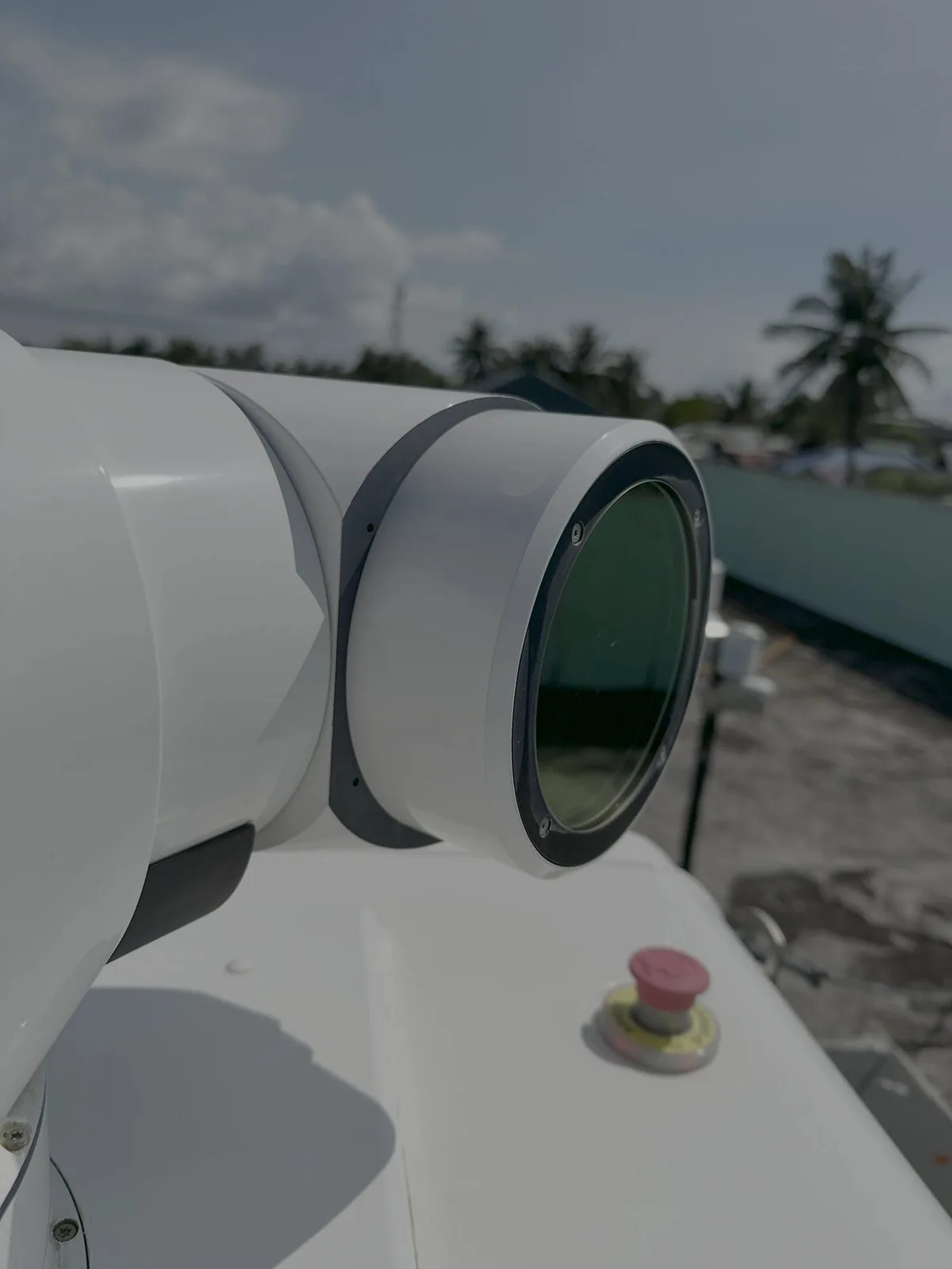
Independent testing & validation of wind LIDAR @ C-TEST
We put remote-sensing instruments to the test — floating LIDAR, scanning LIDAR and remote atmospheric systems — so you can trust every data point. Our independent verification turns raw measurements into certified, bankable evidence.
Data is only bankable when it's been proven
Remote sensing has transformed wind measurement — but lenders, certifiers and OEMs will only accept LIDAR data that has been independently verified against a trusted reference. Our testing services provide exactly that: rigorous, standards-based proof that an instrument performs to the accuracy and availability your project depends on.
We are instrument-agnostic and independent of any manufacturer, so our verification carries weight with every stakeholder in your project.
Manufacturer-independent
Unbiased results trusted by lenders and certifiers.
Reference-grade accuracy
Validated against met masts and calibrated LIDAR.
Bankable reporting
Documentation aligned to OWA and IEC standards.
Remote sensing testing services @ C-TEST
 Marine© Eolos
Floating LIDAR testing
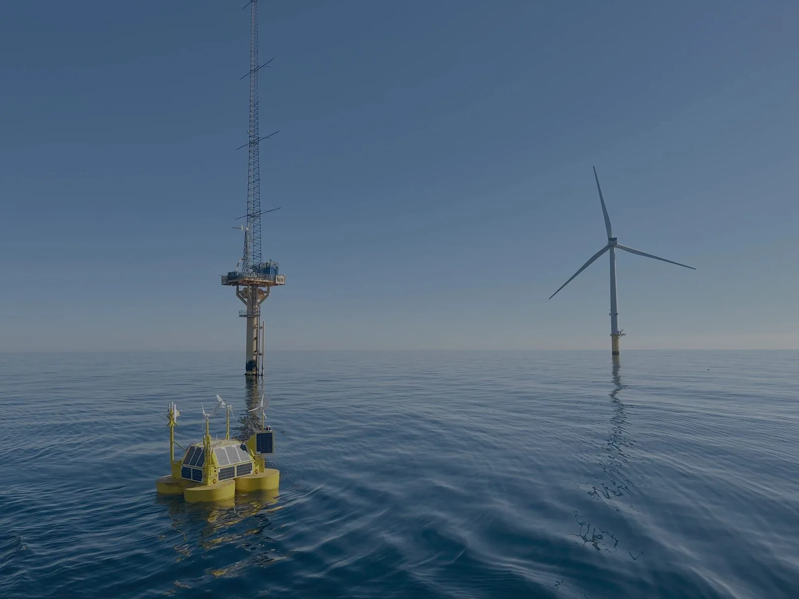
Independent verification and validation of Floating LIDAR Systems (FLS) — from pre-deployment bench testing through in-situ trials against a reference. We confirm your buoy delivers commercial-grade wind data before it ever supports an investment decision.
- Carbon Trust OWA roadmap Stage 1–3 acceptance testing
- Motion-compensation and buoy dynamics assessment
- KPI verification: availability, correlation & uncertainty
- Reference-based validation against met mast or fixed LIDAR
 Advanced
Scanning LIDAR testing
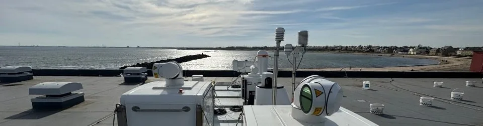
Characterisation and verification of scanning LIDAR (single and dual setups) for wind resource, wake studies, and power-performance testing campaigns. We quantify accuracy and uncertainty so your data holds up to scrutiny.
- Dual- and multi-LIDAR retrieval verification
- Scan-pattern optimisation
- Scan head pointing accuracy verification
- Cup equivalent TI assessment using campaign settings
 Atmospheric
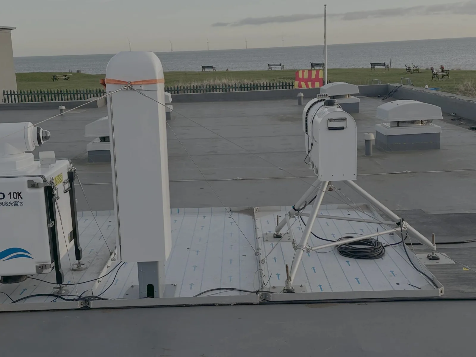
Remote atmospheric measurements
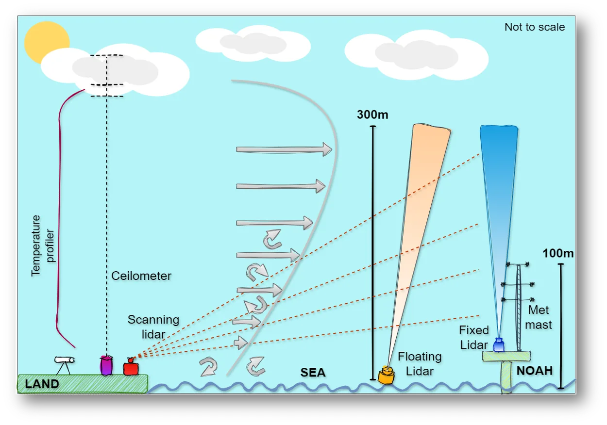
Beyond wind speed, we test and validate remote-sensing instruments measuring the wider atmospheric column — including temperature profiling, humidity and turbulence — to fully characterise stability and its effect on energy yield.
- Temperature profiling (RASS / microwave radiometer) validation
- Atmospheric stability & boundary-layer characterisation
- Turbulence intensity and shear verification
What our testing verifies
From hub-height wind to temperature profiling, we validate every parameter that drives energy yield and turbine loading.
Wind speed & direction
10 – 300 m
Temperature profile
Surface – 1 km
Turbulence intensity
Full rotor plane
Atmospheric stability
Boundary layer
Air density & humidity
In-situ corrected
Wind shear & veer
Multi-height
Measuring stability, not just speed
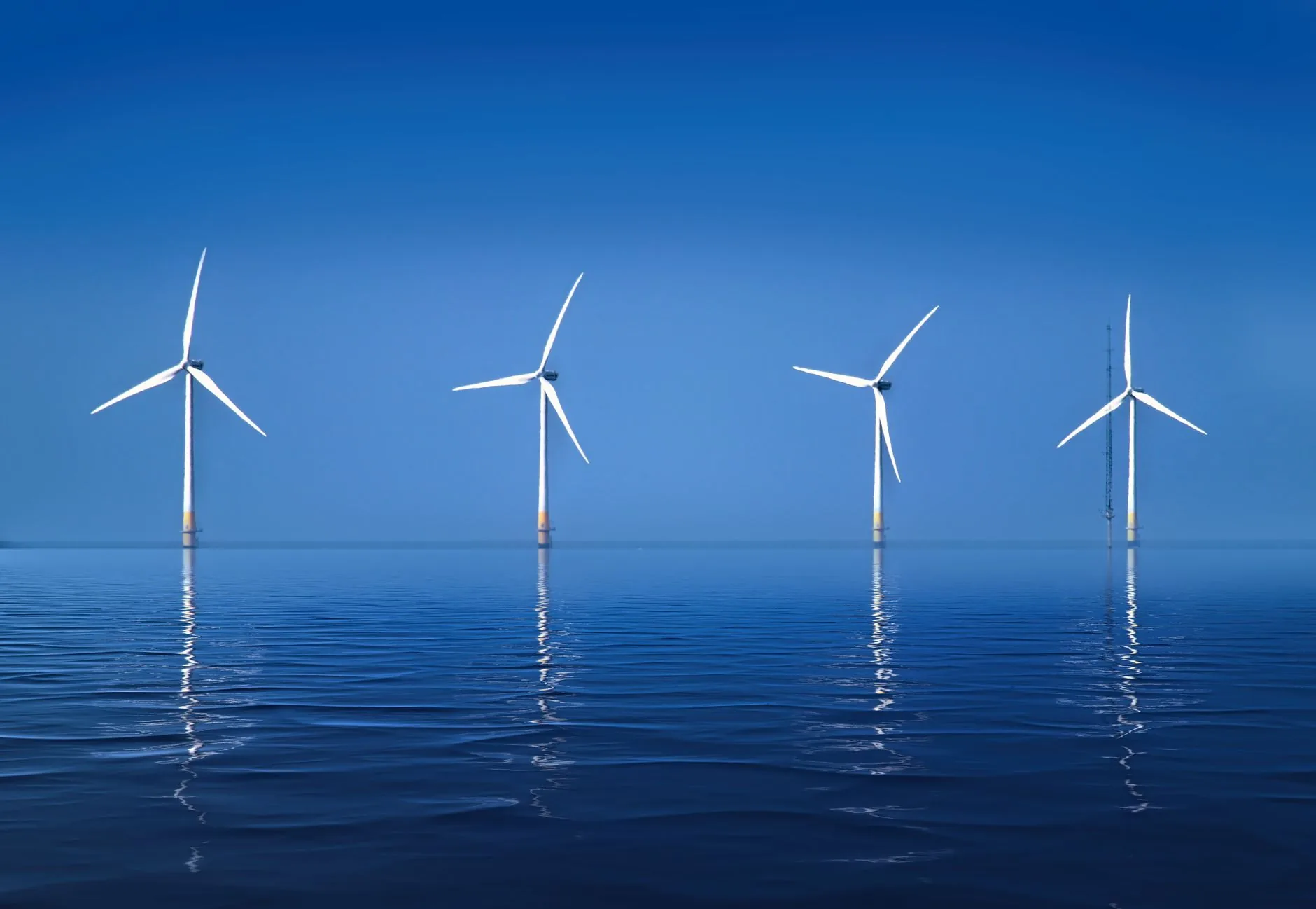
Atmospheric stability — driven by the temperature profile through the boundary layer — has a direct impact on wind shear, turbulence and ultimately energy production. We test and validate remote temperature-profiling instruments alongside your wind LIDAR to build a complete, defensible picture of the atmosphere.
- Vertical temperature profiles
- Classification of stable, neutral and unstable regimes
- Correlation of stability with shear, veer and turbulence
- Air-density corrections for accurate power curves
A rigorous, standards-based testing process
Test planning
Define acceptance criteria, reference, KPIs and the standards your campaign must meet.
Bench & pre-deployment
Laboratory and factory-acceptance checks before the instrument goes to site.
In-situ validation
Side-by-side trials against a trusted reference in the real measurement environment.
Analysis & certification
Independent KPI analysis and a bankable verification report to international standards.
Testing that advances the science
Our C-TEST facility doesn't just verify instruments — it generates published research, white papers and open datasets that push offshore wind measurement forward.
How accurate is the beam position of scanning lidars? An intercomparison
Young, M., Docherty, M., Hung, L. Y., Oldroyd, A., Gottschall, J.
Read moreFeature in PES Wind (Fraunhofer IWES & Oldbaum Services)
Gottschall, J. (Fraunhofer IWES); Oldroyd, A. (Oldbaum Services)
Read moreVerification of Dual-Scanning Lidar for Wind Resource Assessment
Young, M., Oldroyd, A., Shafa, M. (Oldbaum Services); Kidambi Sekar, A. P., Schwenk, P. (OWC)
Read moreScanning & floating LIDAR testing, explained
What our testing covers, which instruments we work with, and why it matters to your wind resource and energy yield.
- What does scanning LIDAR testing involve?
- Scanning LIDAR testing characterises and verifies a scanning system — in single or dual scanning setups — before it is trusted for wind resource, turbulence intensity, wake or energy yield work. We verify scan head pointing accuracy, optimise the scan pattern, check dual- and multi-LIDAR wind retrieval against a reference, and carry out cup-equivalent TI assessment using your actual campaign settings, so the accuracy and uncertainty of every measurement is quantified and defensible.
- How is floating LIDAR testing carried out?
- Floating LIDAR testing follows the Carbon Trust OWA roadmap and IEC 61400-50-4. We run pre-deployment bench testing, then in-situ validation against a reference met mast or fixed LIDAR, verifying the KPIs that matter to lenders — data availability, correlation, motion compensation and measurement uncertainty — so your floating LIDAR can support a bankable wind resource assessment and energy yield estimate.
- Which wind LIDAR units do you test?
- We work with the full range of commercial wind LIDAR: vertical profiling units such as ZX Lidars (ZX 300) and Vaisala WindCube profilers, WindCube 400S scanning LIDAR in single and dual configurations, and buoy-mounted floating LIDAR systems including EOLOS, AXYS and Movelaser platforms. Testing is manufacturer-independent — we answer to the data, not to a supplier.
- Why does LIDAR testing matter for wind resource and energy yield?
- Energy yield is only as reliable as the wind measurement behind it. A small bias in wind speed, shear or turbulence intensity propagates straight into the P50 and P90 energy yield, and therefore into project financing. Independent wind LIDAR testing quantifies that bias and its uncertainty up front, so your wind resource assessment survives lender and technical-advisor scrutiny.
Ready to de-risk your next wind measurement campaign?
Speak with our engineers about wind LIDAR deployment, offshore campaigns and bankable resource assessment tailored to your project.