Measuring the wind with light
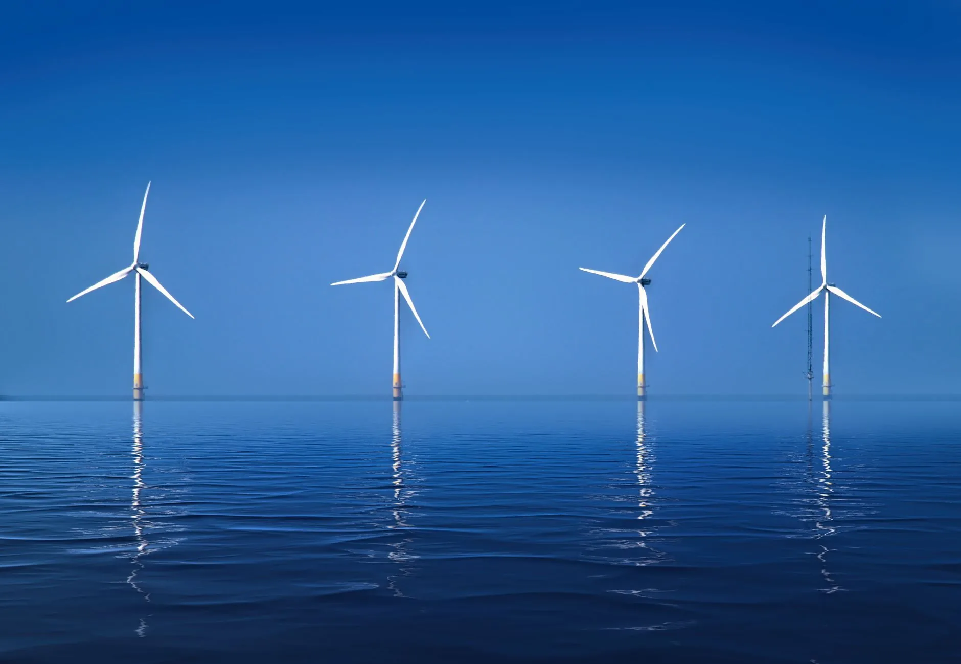
Wind LIDAR — Light Detection and Ranging — is the technology reshaping wind measurement. We deploy the full spectrum of remote-sensing systems to capture the atmosphere in unprecedented detail.
From infrared light to bankable wind speed
A LIDAR unit emits an infrared laser signal into the air. Tiny aerosols carried by the wind scatter that light back toward the sensor. By measuring the Doppler shift of the returned signal, we calculate wind speed and direction at precise heights — remotely, continuously and without disturbing the flow.
Emit
Infrared laser source
Scatter
Aerosols reflect light
Resolve
Doppler shift → wind speed
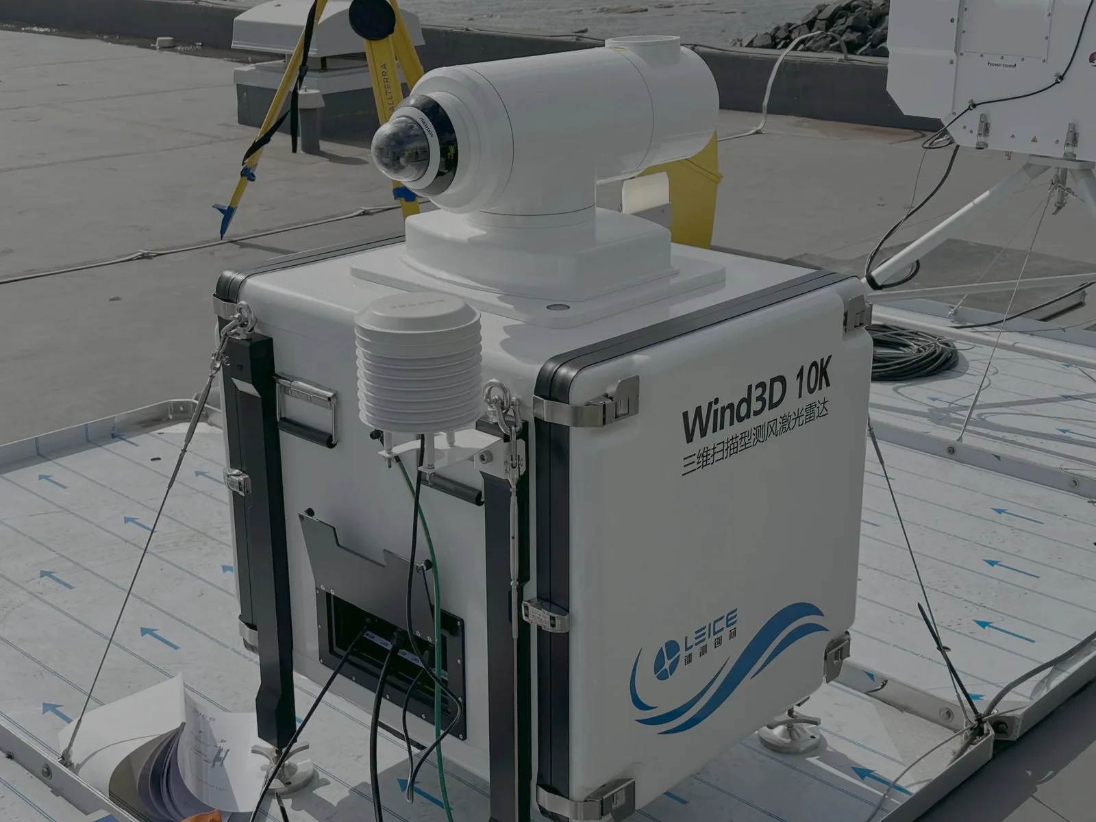
Area profiling
With ranges up to 10 km+ horizontally, to full boundary layer profiling
Manage, visualise and share your wind data
Every campaign flows into our secure cloud data management service, where automated QA/QC, interactive dashboards and one-click reporting turn raw measurements into decisions — accessible to your whole team from anywhere.
Secure cloud
Live dashboards
One-click export
North Sea FLS Campaign
Buoy 02 · last 30 days
4.2M
Records ingested
98.7%
Data availability
12
Active campaigns
1.8TB
Managed storage
Data availability · last 30 days (%)
Wind profile
Data ingested · GB / month
Automated QA / QC
- Wind speed range check Pass
- Sensor drift monitor Pass
- Availability threshold (95%) Pass
- Direction spike filter Flagged
- Timestamp continuity Pass
Illustrative mock-up of the Oldbaum cloud data platform. Figures shown are representative.
The full remote-sensing toolkit
 Full campaign management
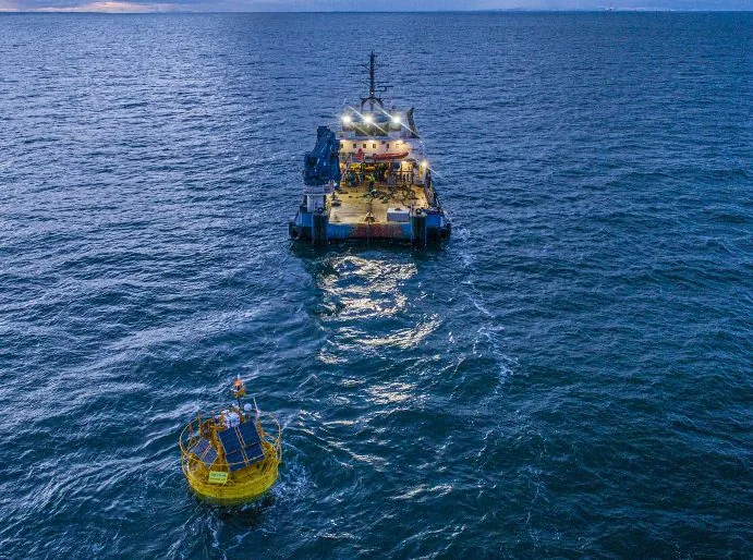
Floating LIDAR Systems (FLS)
Buoy-mounted wind LIDAR delivers hub-height wind data offshore at a fraction of the cost and risk of a fixed met mast. Our campaigns utilize systems that align with the Carbon Trust OWA roadmap for pre-commercial and commercial acceptance and IEC61400-50-4.
 Ground-based
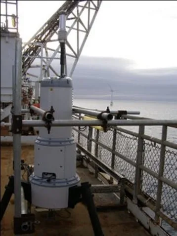
Vertical Profiling LIDAR
Pulsed vertical LIDAR measures wind speed and direction across the full rotor plane — from 10 m to beyond 400 m — with no tall structures or planning constraints.
 Cutting edge
Scanning LIDAR
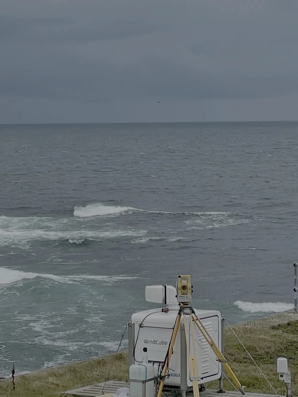
Horizontally scanning systems in (dual and single scanning setups) map wind resource, complex flow, turbine wakes and coastal effects across an entire site, unlocking layout optimisation and performance studies impossible with point sensors.
 Advanced
Boundary layer detection
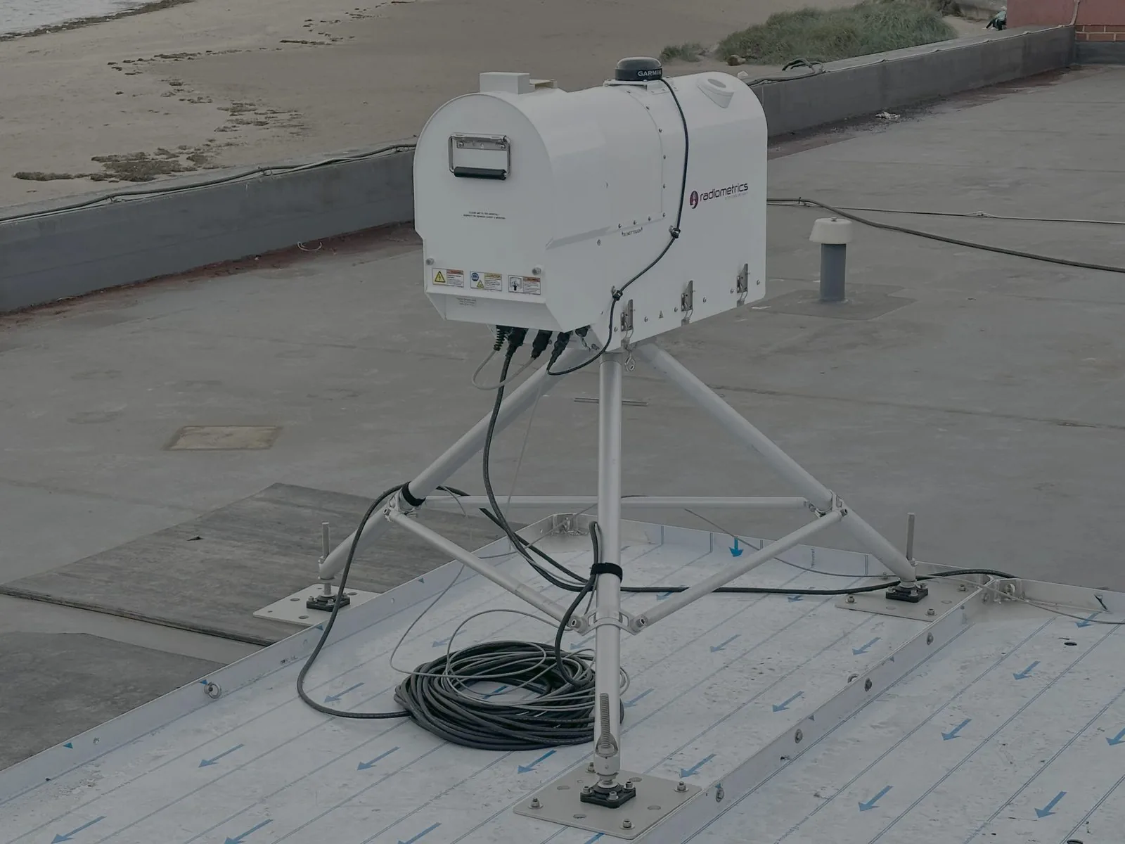
Ground-based microwave radiometers and profilers detect the structure of the atmospheric boundary layer — temperature, humidity and stability through the vertical column — to characterise the conditions that drive shear, turbulence and energy yield.
Ready to de-risk your next wind measurement campaign?
Speak with our engineers about wind LIDAR deployment, offshore campaigns and bankable resource assessment tailored to your project.